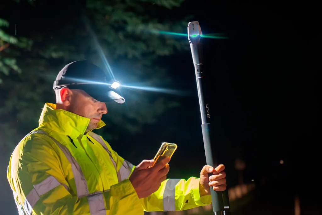
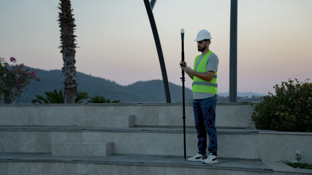
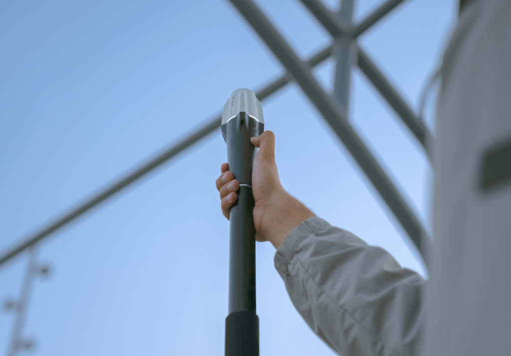
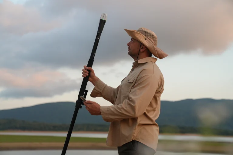
Now equipped with a full-band antenna and a next-generation inertial measurement unit, the Reach RX2 achieves GPS positioning within seconds and maintains robust performance even in challenging conditions.
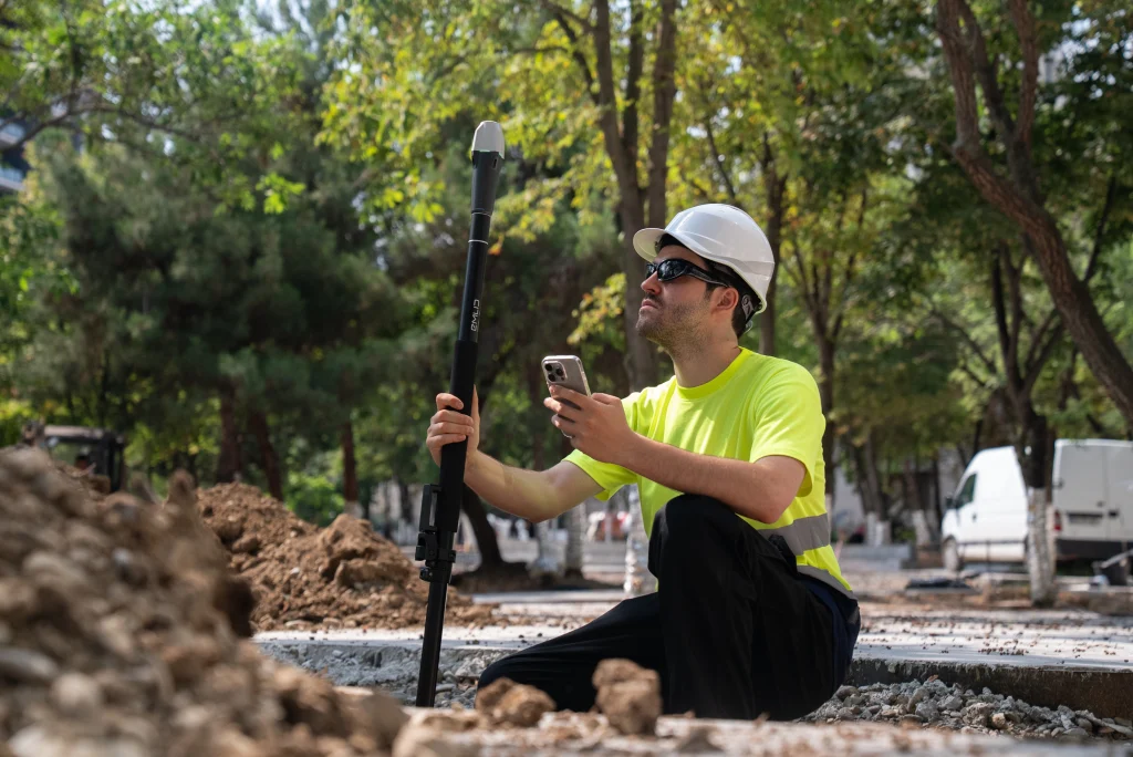
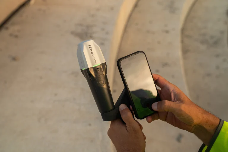
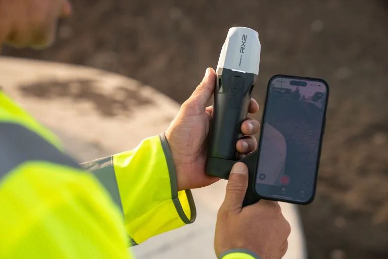
The Reach RX2 uses Bluetooth Low Energy (BLE) technology, allowing you to connect and start surveying with your smartphone or tablet in just a few seconds. Simply enable Bluetooth on your iOS or Android device, find your Reach RX2 in the Emlid Flow app, enter your network correction credentials, and collect your first point — no configuration required.
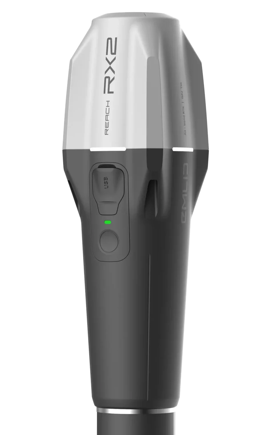
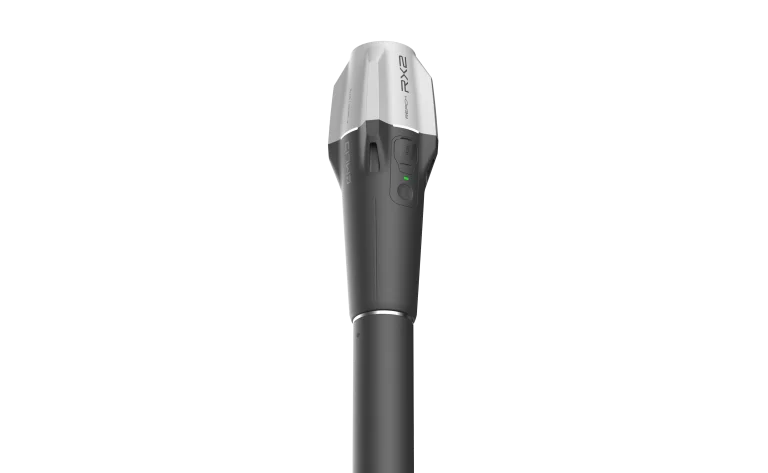
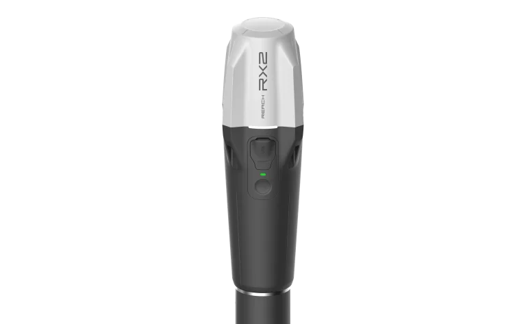
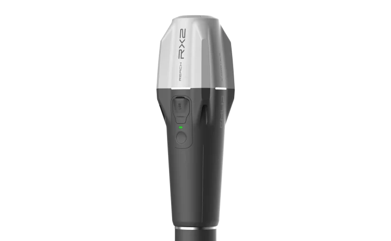
Compact. Rugged. Reliable.
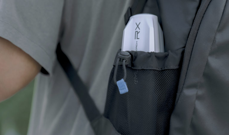
280 grams 72 mm × 51 mm × 39 mm Comparable in weight to a TV remote control and small enough to fit in your pocket.
IP68 The Reach RX2 is waterproof down to 1.5 m. All connectors are fully sealed and protected from water and dust with silicone caps.
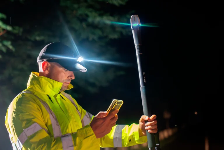
Operating temperature : –20 to +65 °C (–4 to 149 °F) The Reach RX2 has been extensively tested in conditions simulating the coldest winters and the hottest summers.
16 hours on a single charge
Up to 16 hours of autonomous operation during data logging and up to 16 hours when used as a 3G rover, even in cold weather — no need to carry spare batteries. The Reach RX can be charged using a USB wall charger or a power bank via USB-C.
Rated for over 2,000 charge and discharge cycles while retaining its original capacity.
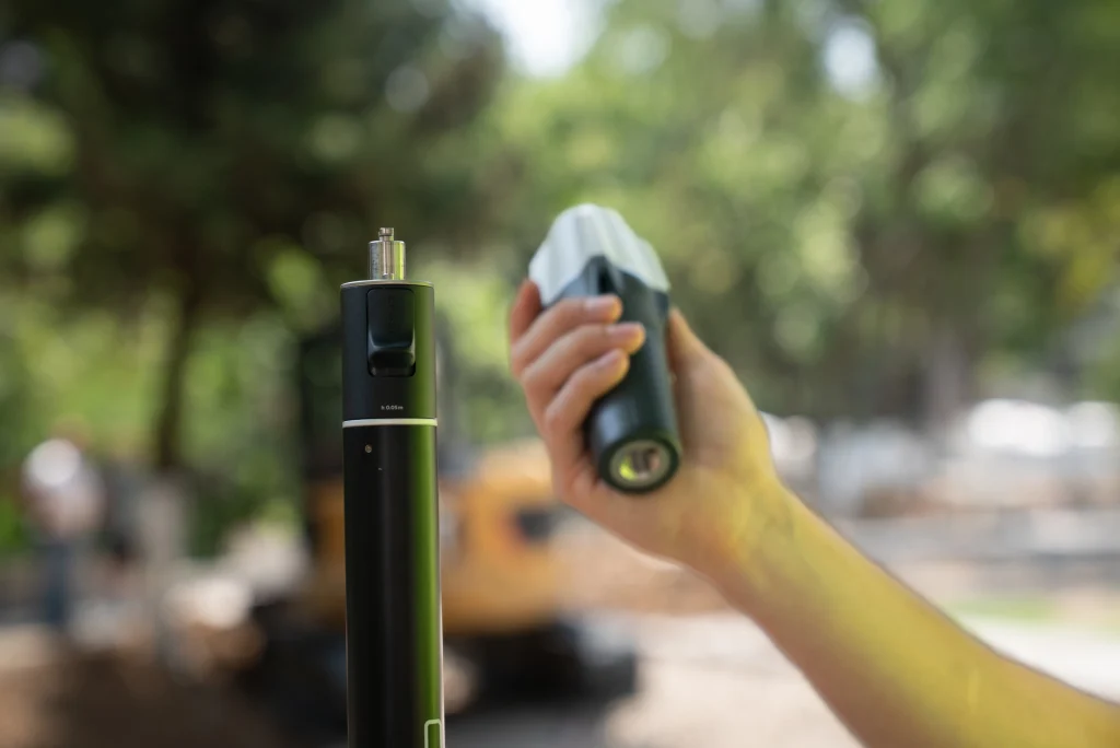
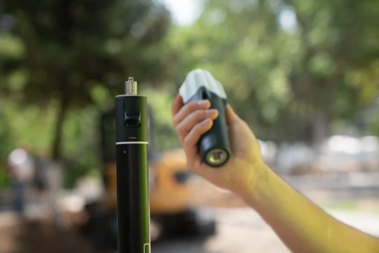
Quick Release
No more screwing required With EMLID’s new patented quick-release mounting tip, there’s no need to screw in your GPS — a simple quarter turn securely locks the receiver onto your survey pole.
Compatible with all standard 5/8″ survey poles.
Optimal Compatibility
Open ecosystem enabling integration with third-party photogrammetry, GIS, and surveying applications.
Depuis 2019, un partenariat de précision entre INGEN et EMLID
Depuis 2019, INGEN et EMLID collaborent étroitement autour des technologies GPS RTK (Real-Time Kinematic). Cette alliance repose sur une volonté commune d’offrir des solutions de positionnement de haute précision, fiables et accessibles. En associant l’expertise technique d’INGEN dans le développement et l’intégration de systèmes géospatiaux à l’innovation d’EMLID dans la conception de récepteurs GNSS performants, cette collaboration permet de proposer aux professionnels du terrain des outils performants, simples à utiliser et parfaitement adaptés aux exigences des applications topographiques, industrielles et scientifiques
Une question spécifique, une demande de devis? N’hésitez pas a nous contacter, nous vous répondrons dans les plus brefs délais.
We use cookies to ensure that we give you the best experience on our website. If you continue to use this site we will assume that you are happy with it.